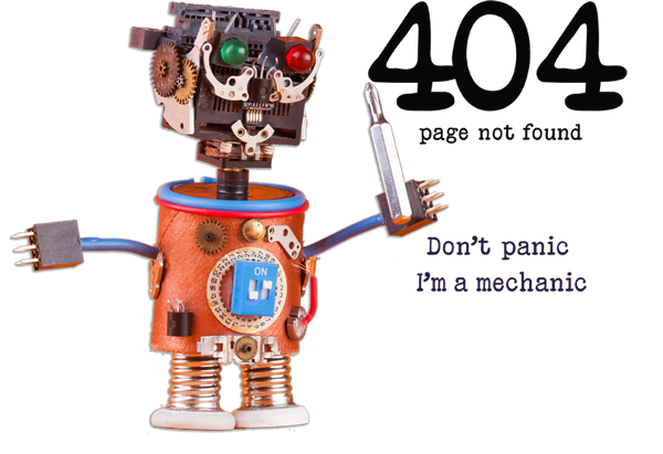
Aerial Surveys

Precision Aerial Survey Services: Serving Vancouver, Victoria, Kelowna, Calgary, Regina and All of Western Canada

Elevate Your Project's Potential with Expert Drone Insights

At Terraprobe, we understand the critical importance of accurate and timely data for your projects. Our aerial survey services in Vancouver are spearheaded by a team of highly skilled pilots, all of whom hold Transport Canada Advanced certifications for commercial operations. By combining state-of-the-art drone technology with extensive geographical knowledge, we deliver unparalleled aerial insights that help you make informed decisions swiftly and efficiently.

terra aero color logo.png

The Drone industry is rapidly developing and is providing excellent data for construction project managers, estimators and marketers and engineers.

Terraprobe has built it's aerial division - Terra-Aero - using best in class aircraft and software to offer high quality services to it's construction customer base.

Photogrammetry can be put to use in a wide variety of applications such as:

Building Information Modeling (BIM)

comparing actual construction progress to projected models

Terrain surveys

mapping areas of land before a job for planning or assessing a site after project completion

Stockpile calculations

measuring the volume of materials in minutes without climbing on or around the pile

Infrastructure inspection

looking at bridges, electrical transmission lines, dams, and other structures for damage or anomalies

Change monitoring

comparing changes in models collected over time

Project Deliverables

Live Stream screenshot small.jpg

Live Stream Flight Views

Live streaming of flight video is available for review by the client. Real-time viewing provides the opportunity for project managers to direct the pilot-in-command to focus on specific points of interest. This increases the efficiency of the survey and guarantees that the most useful data is being collected.

Video is browser based and may be viewed on any desktop.

Our pilots are all Transport Canada Advanced certified for commercial operations.

Airdata UAV|Drone Safety Verified Badge
Infrastructure Inspection

Advanced Technology Meets Expert Navigation

Our advanced drone equipment allows us to capture high-resolution imagery and precise data from the skies above Vancouver. Whether it’s urban planning, environmental monitoring, or construction oversight, our aerial surveys provide detailed views that ground-based observation simply cannot match. This bird’s-eye perspective is perfect for detailed site analysis, progress tracking, and critical infrastructure inspections, ensuring comprehensive coverage of your project area.

Ready to Take Your Project to New Heights?

Certified Expertise

Trust in our team of Transport Canada Advanced certified pilots.

Cutting-Edge Technology

Benefit from the latest in drone technology and data analysis.

Customized Insights

Receive tailored data that aligns perfectly with your project goals.

Elevate your project's accuracy and efficiency with Terraprobe’s expert aerial survey services. Contact us today to learn how our aerial insights can help you achieve precision like never before.

Get in Touch

Tailored Solutions for Diverse Industry Needs

Every project has unique requirements and challenges. At Terraprobe, we pride ourselves on our ability to adapt our services to meet your specific needs. From initial planning to final reporting, our aerial surveys are designed to offer crucial insights across various sectors including real estate development, renewable energy, forestry, and more. Our expert team works closely with you to understand your objectives and deliver results that propel your project forward.

Sample Roof Survey Report

This is a sample report of a residential roof aerial survey. The video below also forms a part of this report.

20580 Powell Roof Survey Report no video 1.jpg

Sample Roof Report - Page 1

20580 Powell Report Roof Pg 2.jpg

Sample Roof Survey - Page 2. Detailed Areas of Concern Easily Highlighted

20580 Powell Roof Survey Report no video 3.jpg

Roof Survey Report - Page 3. Survey Video may be processed and included as part of report to provide additional context

Residential Roof Survey Video

Videos taken during drone surveys may form a valuable part of the report produced by Terra-Aero for use by property owners, project managers and engineers.

This sample video is of a residential roof survey and is a part of the above sample report. Project flight plans are designed in consultation with the client to provide the information required in the desired format.